
Land Surveying
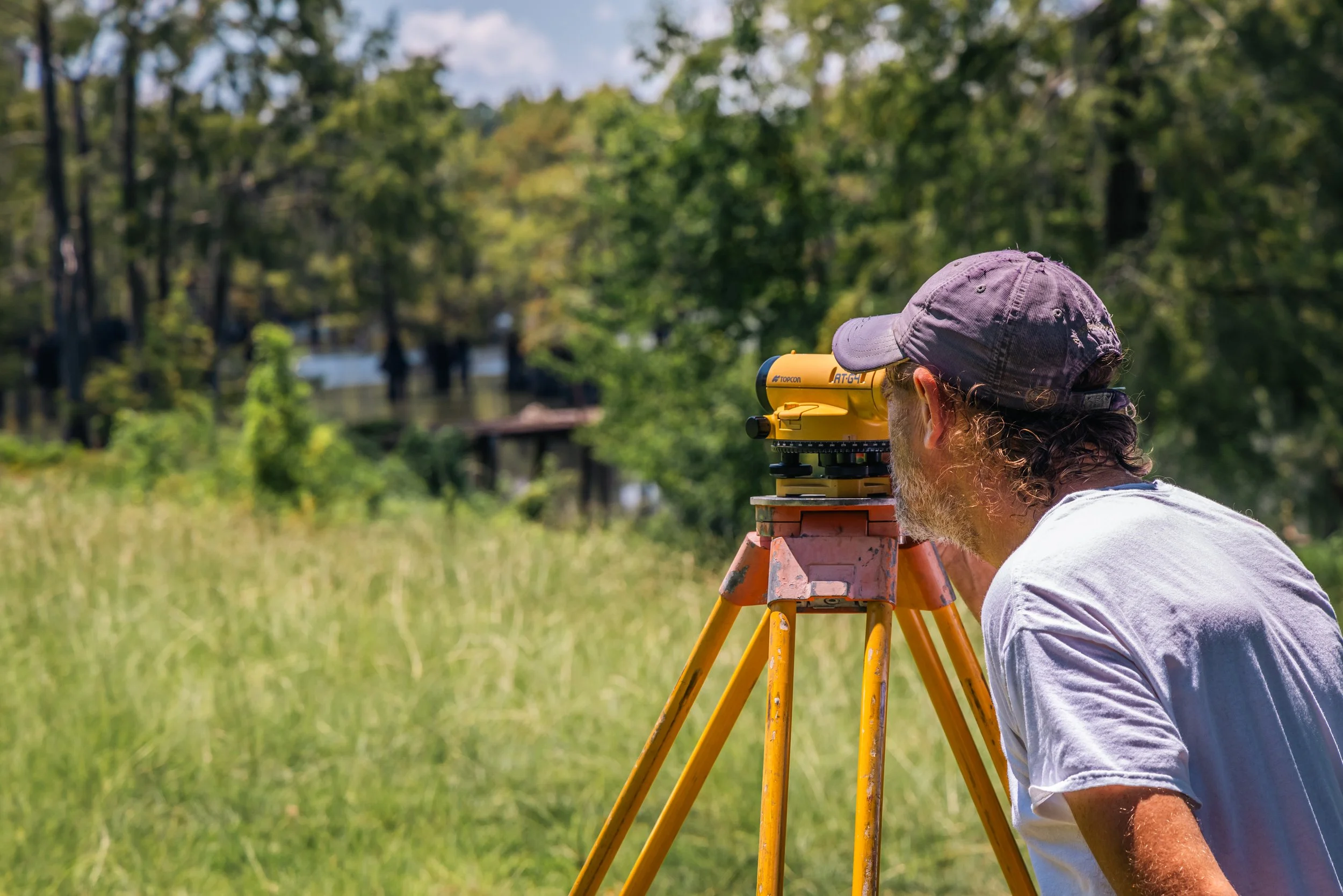
LAND SURVEYING IS THE FOUNDATION OF SUCCESSFUL DEVELOPMENT, LAND OWNERSHIP AND LEGAL DOCUMENTATION FOR PROPERTY RIGHTS.
NAVIGATING LAWS, RULES AND PROPERTY DEVELOPMENT STANDARDS THAT CHANGE WITH JURISDICTION CAN BE COMPLICATED. WE ARE HERE TO GUIDE YOU THROUGH THESE PROCESSES TO MAKE SURE YOUR PROJECT IS A SUCCESS.
Examples of Land Surveying Services We Offer
Boundary Surveys – Clearly establish property lines for deeds, title transfers, and land disputes. Ideal for land sales, fence placement, and ensuring legal property boundaries.
Oil, Gas & Mineral Surveys – Specialized surveys for mineral rights, well sites, pipelines, and lease boundaries.
Line Staking for Fence Construction – Prevent costly mistakes by ensuring your fence or structure is built precisely within your property limits. Our line staking services provide accurate, on-the-ground reference points.
Division of Heir Property – Accurately divide inherited land among multiple heirs with fair and clearly defined property lines. We work closely with attorneys and families to streamline the process.
Topographic Surveys – Detailed mapping of land elevations, contours, and features to support design, drainage, and grading plans. Essential for site design, grading, and engineering planning.
ALTA/NSPS Land Title Surveys – Comprehensive surveys that meet national standards for commercial real estate transactions and title insurance requirements.
Construction Staking – Precision layout of roads, utilities, and structures to guide construction crews during the building process.
Easement & Right-of-Way Surveys – Identification and documentation of legal access areas for utilities, roads, and pipelines.
Subdivision Plats – Full-service land division for new residential or commercial developments. We provide platting, legal descriptions, and coordination with local authorities.
As-Built Surveys – Post-construction verification of improvements to confirm compliance with design plans and permitting conditions.
FEMA Flood Elevation Certificates – Determine your property’s elevation relative to FEMA flood zones. Required for flood insurance, permitting, and certain construction projects.